|
Understanding of seabed topography is important to designing nets and increasing fish catch efficiency in installation of trap nets and fish farming nets.
Nitto Seimo is offering various surveys and support depending on customer needs.
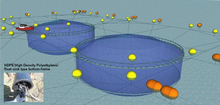
- ��We analyze data of fishing ground surveys and support installation of the most appropriate nets in consideration of geography, distance from adjacent fishing grounds and active fishing periods.
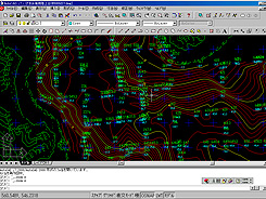
- ��We create drawings of seabed topographies using fish detectors and sonar.
- ��We judge the fishing ground by understand installation directions and current speed by placing a current meter near the net for a while because the installation angle against a current is an important element in preventing the deformation.
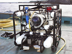
- ��When any reef or rock is found by the survey, we make sure the geometry by ROV (Remotely operated vehicle).
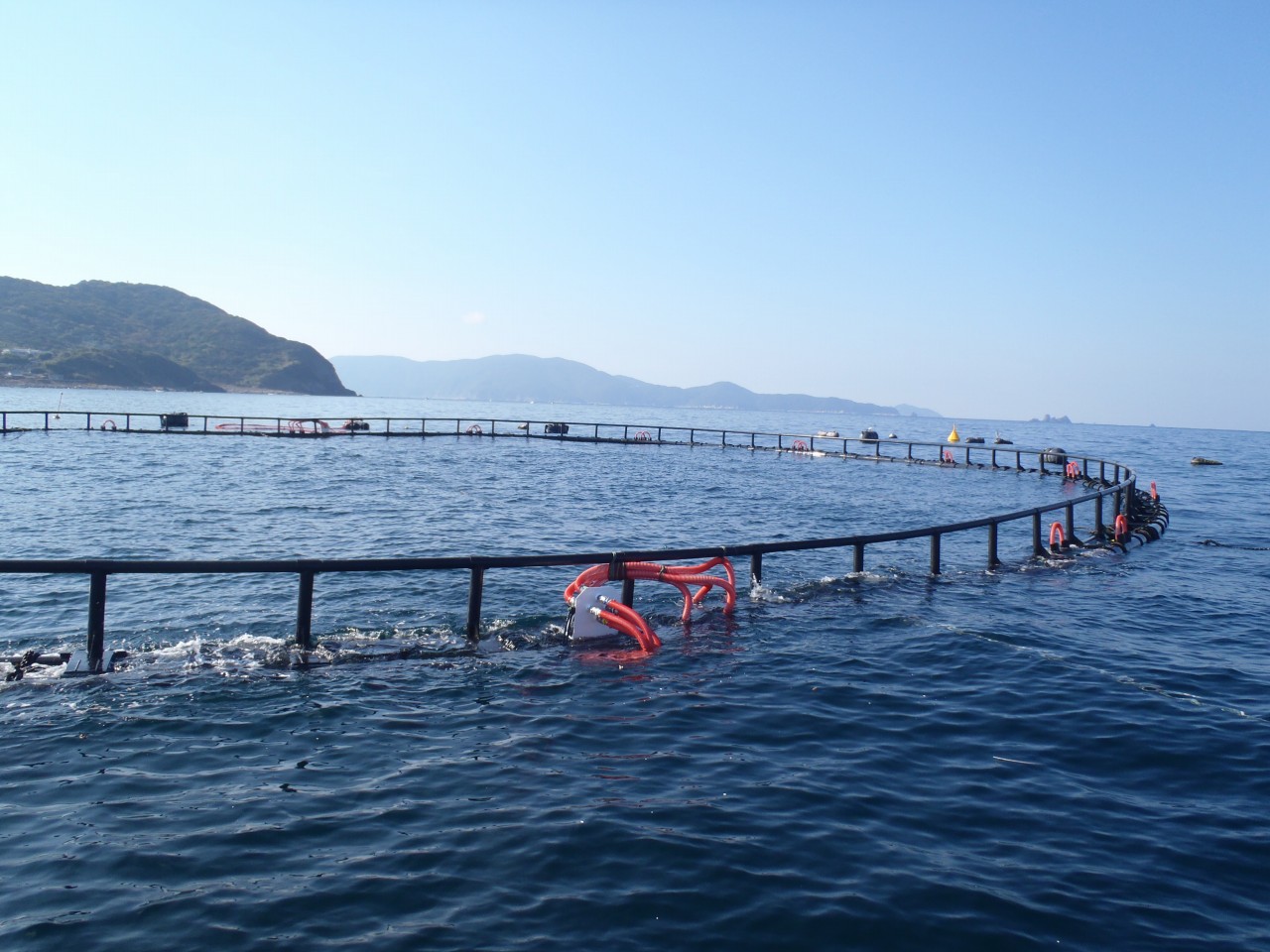
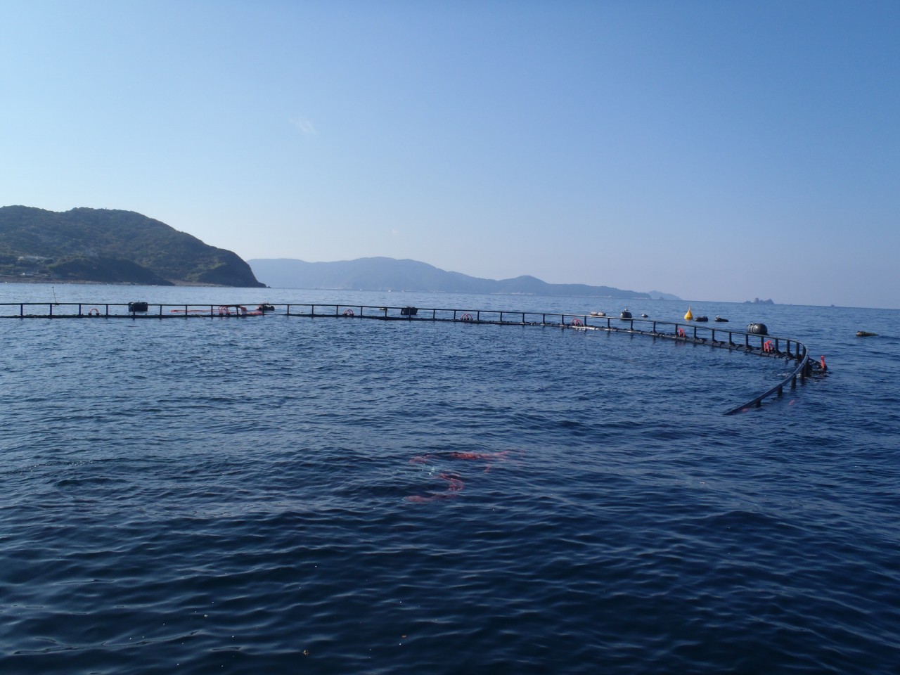
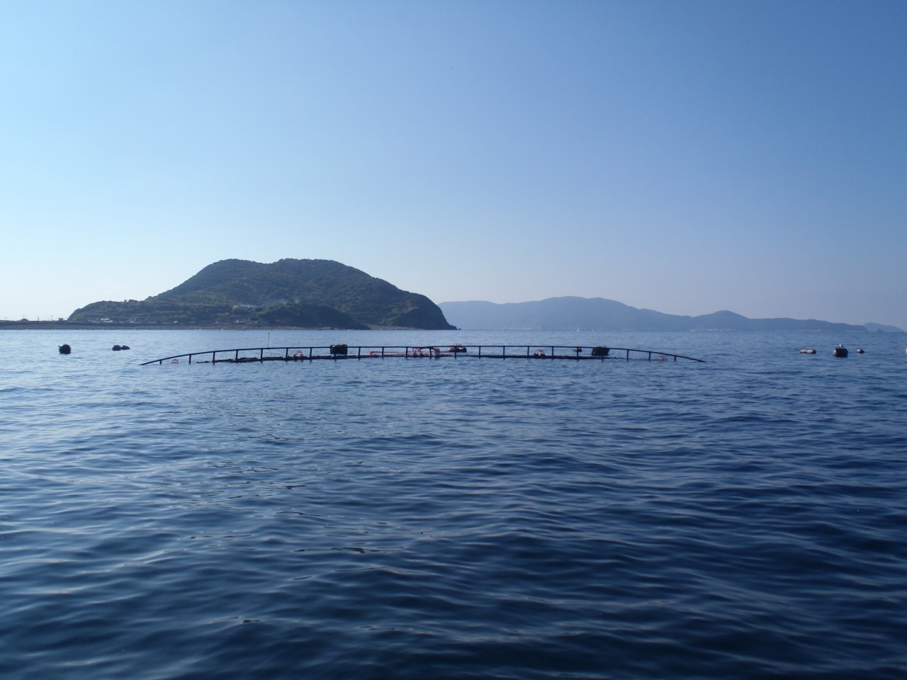
- ��It is possible to visually confirm an installed net and breakage of a net.
- ��We grasp movement of school of fish around and in the net by installation of sonars.
- ��We measure drift of the net by a net depth meter.
|



 Top Page